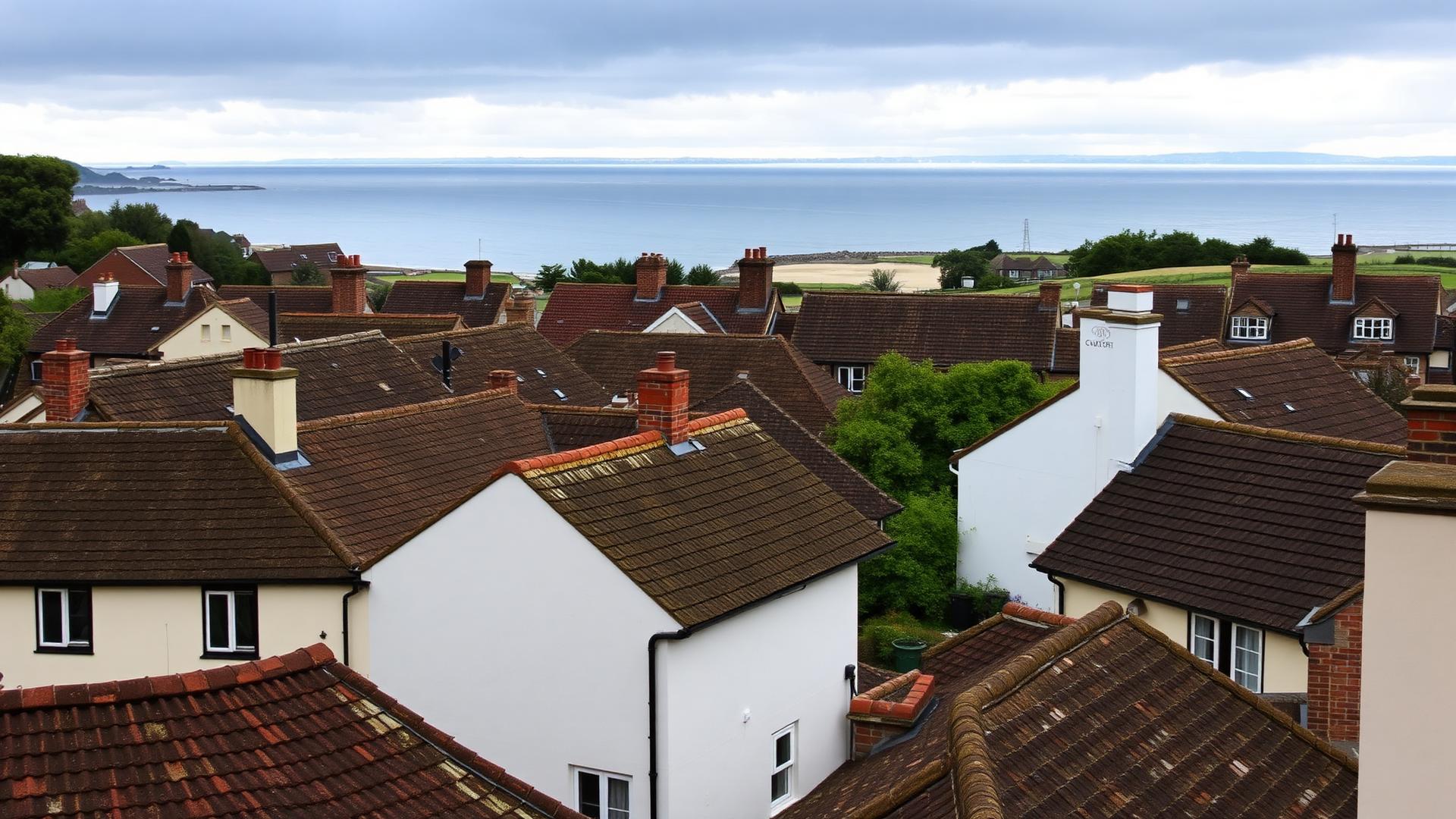
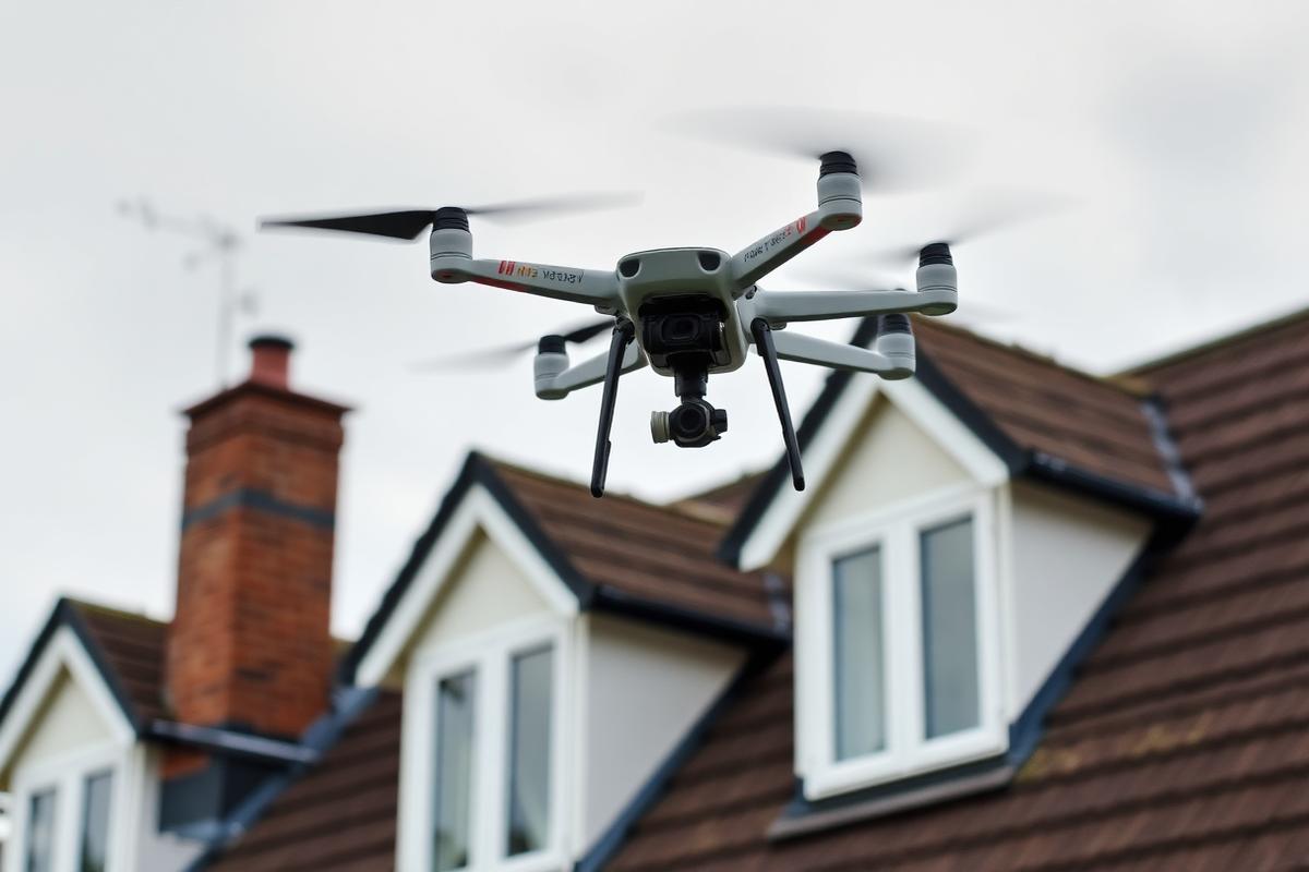
A drone survey gets round that. We photograph the whole roof at close range, and you get the images plus a written assessment of what they show.
When a survey is the sensible first step
- A leak with no obvious source, before you decide whether to pay for scaffolding
- Buying a property in the town and wanting the roof looked at properly
- After a storm, to work out exactly what moved and document it for an insurer
- Working out whether a roof has years left in it or needs replacing
- Freeholder or managing agent condition reporting on a block of flats
- Roofs with no safe ladder position — cliff frontage, tight side returns, conservatories below
What you receive
High-resolution imagery of every slope, ridge, valley, abutment and stack, plus close-ups of anything defective. Alongside that, a plain-English assessment: what's wrong, how serious it is, whether it needs attention now or can be kept an eye on, and what the repair would involve.
The report is yours to keep. It's useful to a freeholder, a managing agent, an insurer or a solicitor during a sale, and there's no obligation to have us do the work.
Flying legally in a built-up town
Bournemouth is dense, and parts of it sit close to the seafront crowds and controlled airspace. We fly every survey in line with CAA rules, with the flight planned around airspace restrictions, people and neighbouring property, and the pilot keeping visual line of sight throughout.
Common questions
What homeowners in Bournemouth usually want to know about drone roof surveys.
Ask us anything