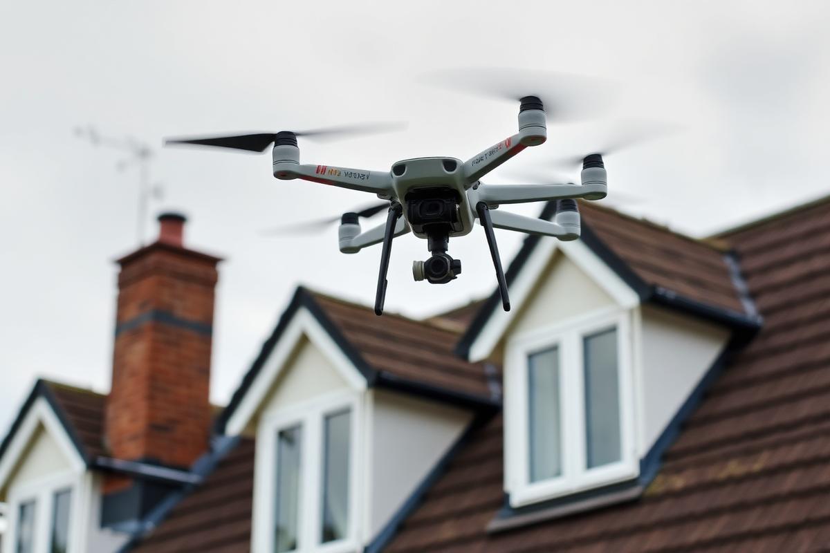
The photographs can identify visible defects and support decisions about access or repair, while a loft inspection remains important where the concern is concealed inside.
What the camera can find over Sherborne
- Slipped, cracked or missing coverings
- Open ridge and hip joints
- Lifted lead at chimneys and abutments
- Blocked valleys and hidden back gutters
- Cracked chimney flaunching and pots
- Sagging gutters and water marks at the eaves
Views unavailable from the pavement
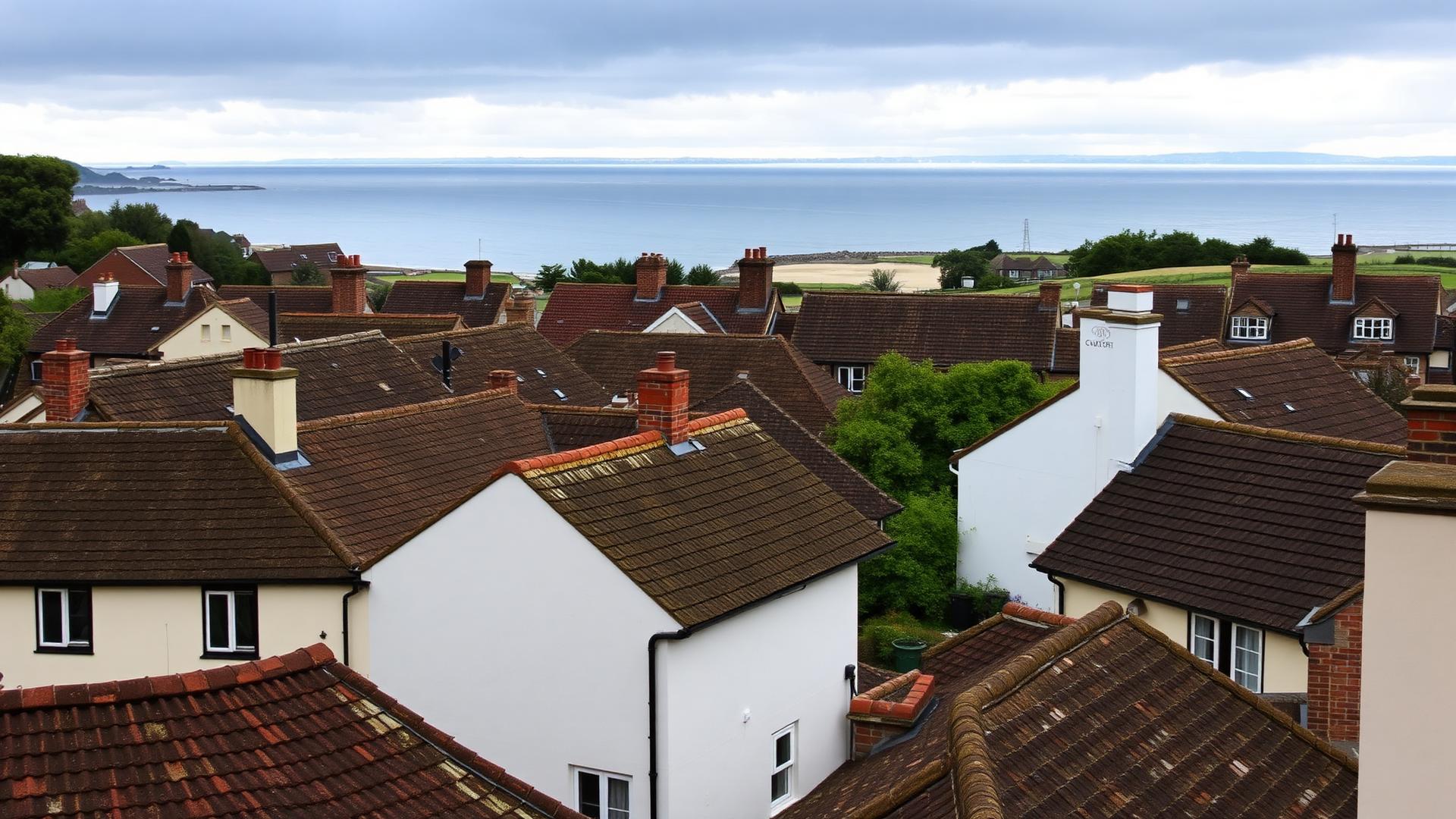
The ridge, rear slopes and hidden valleys of natural slate, clay tile and stone-built period properties alongside later tiled homes can sit outside every ground-level sightline. Close imagery records those surfaces without walking on the covering.
- 1The drone surveys the whole roof from above — nobody goes onto it
- 2Ridge, hips, valleys and flashings photographed in detail
- 3Chimney head, flaunching, pots and back gutter
- 4From the ground you see the lower slope and gutter line — and very little else
How a survey is carried out
Flights are planned around the site, weather, people and applicable airspace restrictions. Elevated edges of the town take open-country weather, while shaded stone buildings can remain damp long after rainfall. Unsuitable conditions mean rescheduling rather than accepting poor or unsafe imagery.
1. Brief
You tell us what's prompted the survey — a leak, a storm, a purchase, or a quote you want checked.
2. Flight
A short flight over each elevation, the ridge, valleys, flashings and chimney — nobody needs to go onto the roof.
3. Imagery
High-resolution stills of the surveyed external areas, with close-ups where something needs a closer look.
4. Findings
A plain-English write-up: what's sound, what needs attention now, and what we can just keep an eye on.
5. Quotation
Only if work's needed, and priced against what the images show rather than a guess.
What it cannot show
A camera cannot see rafters, underlay, insulation or the route water takes after entry. Internal inspection may therefore be recommended alongside the external survey.
| What you want to know | Drone survey | Also needs |
|---|---|---|
| Outer covering — tiles, slates, ridge, flashings | Photographed in detail from above | No access needed |
| Chimney head, flaunching and pots | Photographed from above and each side | Otherwise needs scaffold or tower |
| Roof timbers, underlay and insulation | Not visible — a drone works outside only | Loft inspection from inside |
| Whether a leak is active right now | Shows likely entry points, not the water path | Internal check, sometimes a water test |
Common questions
What homeowners in Sherborne usually want to know about drone roof surveys.
Ask us anything